Regions & Governorates
Jordan's 12 governorates stretch from the green hills of the north to the deserts and coast of the south. Each has its own landscape, local foods, traditions and historic sites. Together they show how varied this small country is.
Three natural regions
Geographers usually divide Jordan into three natural regions. The first is the Jordan Rift Valley, a long, low trench that runs from the Yarmouk River in the north, through the Jordan Valley and the Dead Sea, to Wadi Araba and the Gulf of Aqaba. Its warm climate and water supply make the northern part of the valley one of the country's main farming areas, producing vegetables, bananas and citrus fruit.
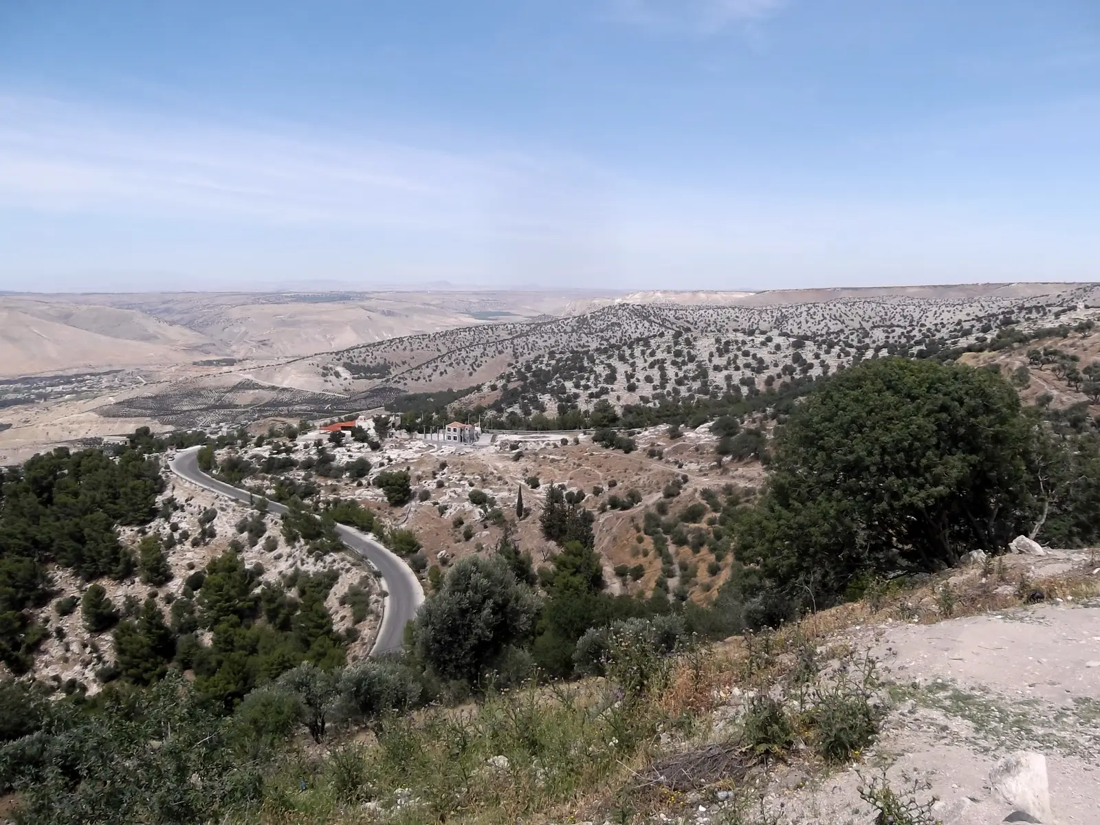
The second region is the highlands, a chain of hills and plateaus that rises east of the valley. Here are most of the cities, farmland, olive groves and forests. The third region is the Badia, the eastern and southern desert, which covers most of the country. It includes gravel plains, basalt fields, sandstone mountains and scattered oases, and it is home to Bedouin communities and important wildlife reserves.
Amman
The capital governorate is the political, economic and cultural heart of Jordan. Amman spreads across many hills, mixing modern districts with older quarters around the downtown area. Visitors come for the Citadel, the Roman Theatre, museums, cafés and markets. Ancient Rabbath Ammon and Roman Philadelphia lie beneath the modern city.
Explore the governorateIrbid
Irbid is the main governorate of the north, with fertile plains, olive groves and the valley of the Yarmouk River. Its capital is a lively university city. The governorate includes Umm Qais (ancient Gadara), with views over the northern Jordan Valley, and Pella, one of the longest-inhabited sites in the region.
Explore the governorateZarqa
Zarqa is one of Jordan's most populous governorates and an important centre of industry and trade, located north-east of Amman. Its territory stretches far into the eastern desert, including the Azraq oasis, the Azraq Wetland Reserve, the Shaumari Wildlife Reserve and Umayyad buildings such as Qusayr Amra and Qasr al-Hallabat.
Explore the governorateBalqa
Balqa reaches from the highlands west of Amman down to the Jordan Valley and the north-eastern shore of the Dead Sea. Its capital, As-Salt, is known for its golden-stone houses from the late Ottoman period and is a UNESCO World Heritage Site. The governorate also includes the Baptism Site on the River Jordan and rich valley farms.
Explore the governorateMafraq
Mafraq is one of the largest governorates by area, stretching across the open Badia desert. Much of the land is covered with dark basalt stones. It is home to Umm al-Jimal, a town built of black basalt with houses and churches from the Roman, Byzantine and early Islamic periods, now listed by UNESCO.
Explore the governorateJerash
Jerash is a small, green governorate in the northern hills, famous for the ruins of Gerasa, one of the best-preserved Roman provincial cities anywhere. Its colonnaded streets, oval plaza, theatres and temples attract many visitors. The area also has pine and oak woodlands, including Dibbeen Forest, and hosts a well-known summer festival of culture and arts.
Explore the governorateAjloun
Ajloun is one of the greenest governorates, with rolling hills, forests of oak and pine, and terraces of olive trees. Ajloun Castle, built in the 12th century, overlooks the surrounding valleys. The Ajloun Forest Reserve offers walking trails, and Tell Mar Elias, a hilltop site linked with the Prophet Elijah, is visited by pilgrims.
Explore the governorateMadaba
Madaba is often called the City of Mosaics. Its churches and archaeological park preserve outstanding Byzantine floor mosaics, including the famous Madaba Map. Nearby are Mount Nebo, with its views over the Jordan Valley, the hot springs of Hammamat Ma'in and the hilltop fortress of Mukawir, ancient Machaerus.
Explore the governorateKarak
Karak sits on a high plateau between deep valleys, with land reaching down to the southern Dead Sea. Its capital is crowned by a large medieval castle with long vaulted halls. The governorate is known for its farming traditions, its version of mansaf, the Mujib canyons and the Museum at the Lowest Place on Earth near Ghor as-Safi.
Explore the governorateTafilah
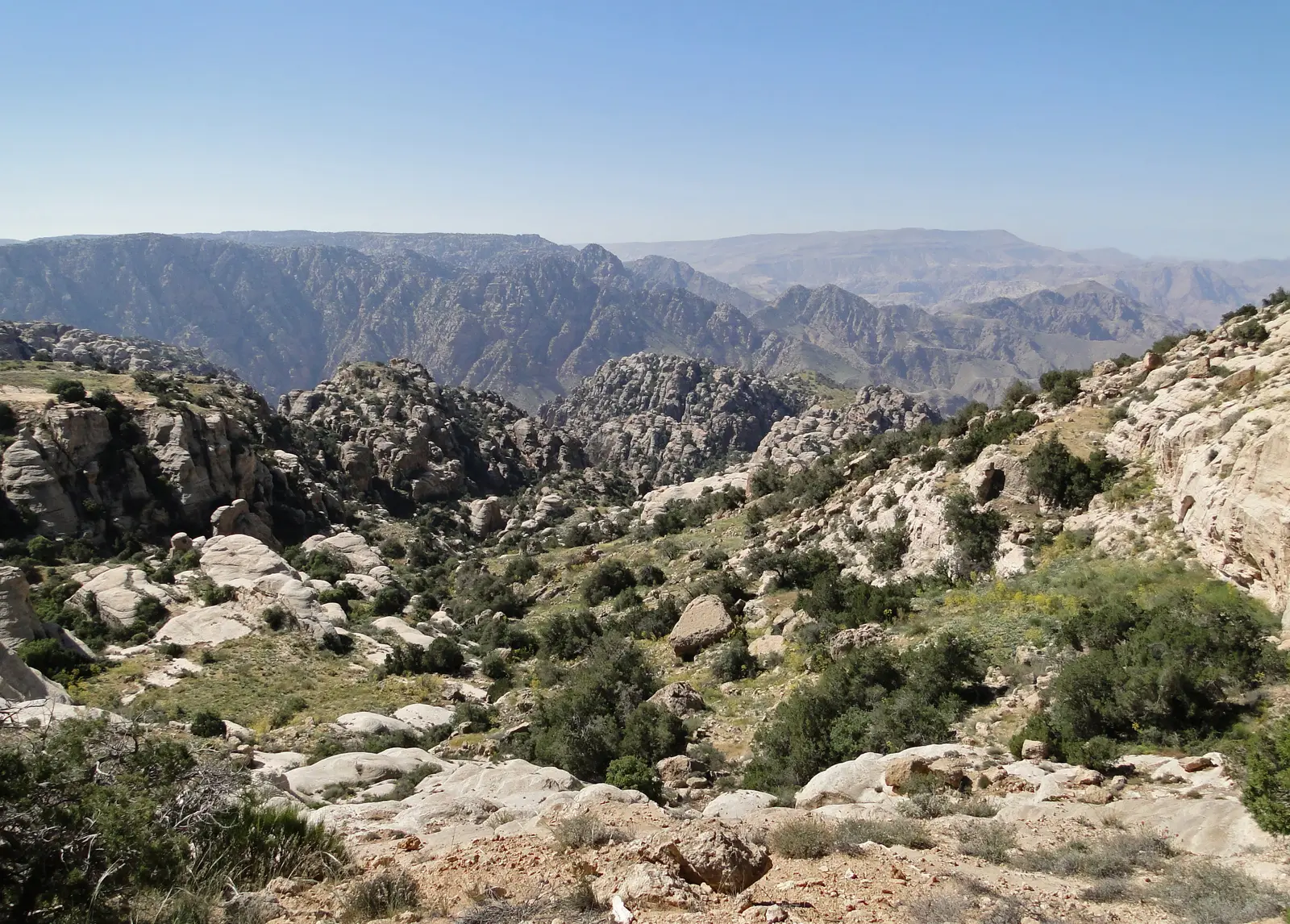
Tafilah is a mountainous governorate in the southern highlands, with terraced slopes, springs and olive and fig orchards. It includes much of the Dana Biosphere Reserve and the stone village of Dana above a dramatic valley. Busayra, the centre of ancient Edom, and the hot springs of Afra are also found here.
Explore the governorateMa'an
Ma'an is the largest governorate by area, covering wide desert plains and southern highlands. It is home to Petra, Jordan's most famous site, and the nearby town of Wadi Musa, as well as Little Petra and Shobak Castle. The city of Ma'an was a historic stop on the pilgrimage route and the Hejaz Railway.
Explore the governorateAqaba
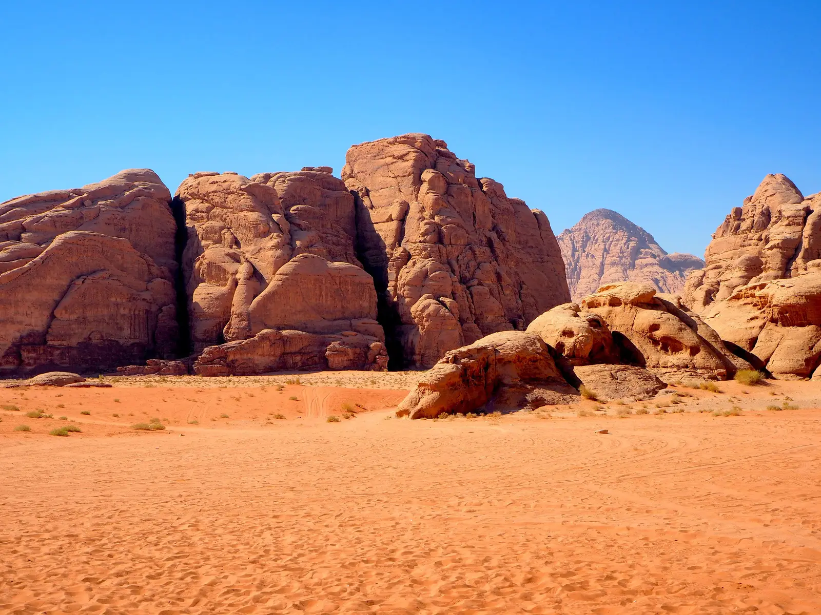
Aqaba is Jordan's only coastal governorate, on the Gulf of Aqaba at the northern tip of the Red Sea. The city has a port, beaches and coral reefs popular for diving and snorkelling. The governorate also includes the red sand and sandstone mountains of Wadi Rum, a UNESCO World Heritage Site, and the long valley of Wadi Araba.
Explore the governorateNorth and south
The north of Jordan receives more rain than the south. Around Irbid, Ajloun and Jerash, the hills are covered with olive trees, oak and pine forests, and fields of wheat that turn green in winter and gold in early summer. Villages here are built of stone, and Roman cities such as Jerash and Umm Qais stand among the farmland.
As you travel south along the highlands, the land becomes drier and more open. Karak and Tafilah sit on high plateaus cut by deep canyons, while Ma'an and the area around Petra lead to wide desert landscapes. The far south includes the mountains of Wadi Rum and the city of Aqaba, where the desert meets the sea. Population is thinner in the south, and distances between towns are greater.
Urban life
Most Jordanians live in cities, especially in the northern highlands. Amman, together with Zarqa and Russeifa to its north-east, forms the largest urban area in the country. Irbid is the main city of the north and a busy university centre. These cities have modern shopping districts, cafés, cultural centres and parks, alongside older neighbourhoods with traditional markets.
Smaller cities such as As-Salt, Madaba, Karak and Ma'an keep a strong local identity, with historic centres, family businesses and close-knit communities. Aqaba, as the only coastal city, has its own rhythm, shaped by its port, beaches and tourism. Across all these places, daily life often centres on family, neighbourhood and shared meals.
More from the guide
Jordan at a Glance
Key facts and first impressions
Read the guideHistory & Heritage
Ten thousand years of human story
Read the guideHow the State Is Organised
Institutions, governorates and national symbols
Read the guideClimate & Seasons
When to go and what to pack
Read the guideRoads & Getting Around
Airports, highways, buses and taxis
Read the guideFood & Flavours
The Jordanian table
Read the guideCulture & Traditions
Hospitality, heritage and daily life
Read the guideNature & Wildlife
Reserves, trails and living landscapes
Read the guidePractical Information
Before you go and while you are there
Read the guide